Coastal State University
B.A. · Urban Studies
Urban planner tracing the walk from the bus stop to the market.
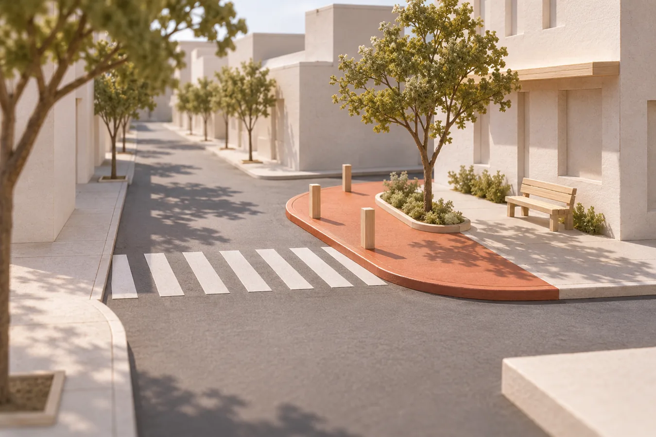
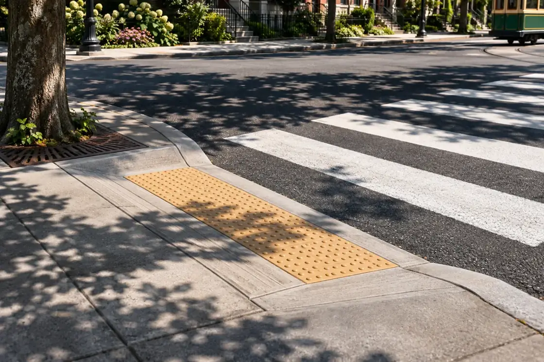
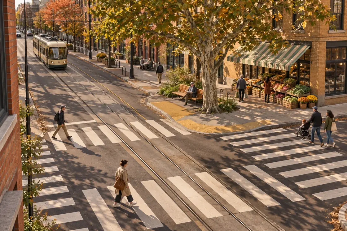
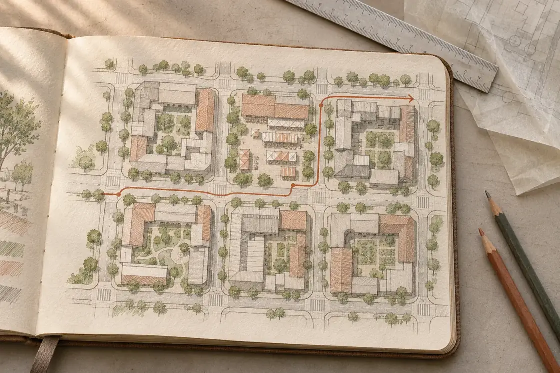
At Market Square, the official crossing and the path people actually used were half a block apart. I walked the route at pickup time with residents, drew the turns and tested one shorter crossing in a scale model.
Sep 2021 – Present · 5 yrs 3 mos
Lead neighborhood walking audits, concept plans and delivery workshops.
May 2018 – Aug 2021 · 3 yrs 4 mos
Mapped public-space access and bus-stop connections.
B.A. · Urban Studies
A painted line did little for someone pushing a trolley uphill. We compared the route on the official plan with the shortcut shoppers took, then moved the proposed kerb extension to meet them.
| Site | Observed | What to test |
|---|---|---|
| Market door | People cut across the turn | Bring the landing toward the door |
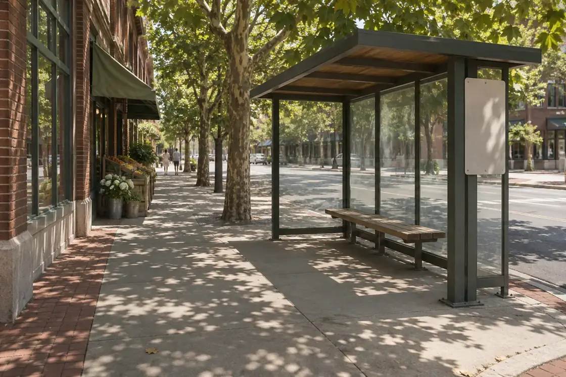
| Bus stop | Queue breaks around the bench | Move the bench behind the queue |
Walk the first approach
Trace the school run and delivery route.
Test the corner
Compare a short crossing and space for a bench.
Return to the queue
Watch who can reach the bus stop without stepping off the pavement.
Which approach should we check at dusk?
Fictional example. Responses are not collected.
How easy is the route from the bus stop to the door?
Fictional example. Responses are not collected.
GitHub activity · illustrative data
No votes yet